Your Right to the Shore
Residents and visitors alike enjoy access to the shores and waters of Narragansett Bay and the coast. “Public access to the shore” is the phrase used to describe the ways by which the public may legally reach and enjoy coastal areas and resources.
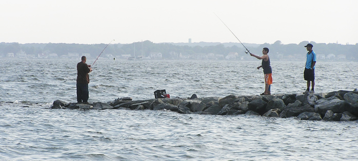
Among the most popular access points are state and local beaches and parks, municipal waterfront areas, state designated fishing areas, boat launching ramps, bike paths, mooring areas, marinas, state fishing ports, and public rights of way.
The Rhode Island Constitution guarantees citizens the right to swim in the sea and gather seaweed or fish from the shore. Public Access to the Rhode Island Coast is a guide that identifies 344 popular spots among many hundreds that exist. These include 42 public saltwater beaches monitored by the Department of Health, ten of which are state beaches providing approximately six miles of access.
Nevertheless, getting access to the shoreline can be difficult, particularly in urban areas. The Rhode Island General Assembly has set a goal of identifying at least one public right of way for each mile of shoreline, with a goal of 420 sites.
While the number of designated public rights of way has stood at about 220 for several years, the number of sites under review has increased recently. Public access along newly developing waterfronts is an area of both concern and potential, but new buffer policies for urban waterfront redevelopment in the upper Bay create the possibility of continuous public access along urban waterfronts.
Preserving and creating lateral access along the shoreline is getting more difficult as a result of sea level rise, erosion and hardening of the shoreline. About 133 miles of Narragansett Bay’s shoreline is lined with riprap walls, bulkheads, and other manmade structures. Establishing coastal buffers rather than armoring the shoreline can provide many benefits including public access, habitat, stabilization of the shoreline, and filtering of runoff.


