Improving Water Quality

Pollution harms our Bay

Beach closure sign
Swimming beaches along Narragansett Bay shores are frequently closed after heavy rains, because bacteria levels in the water make it unsafe for human contact.

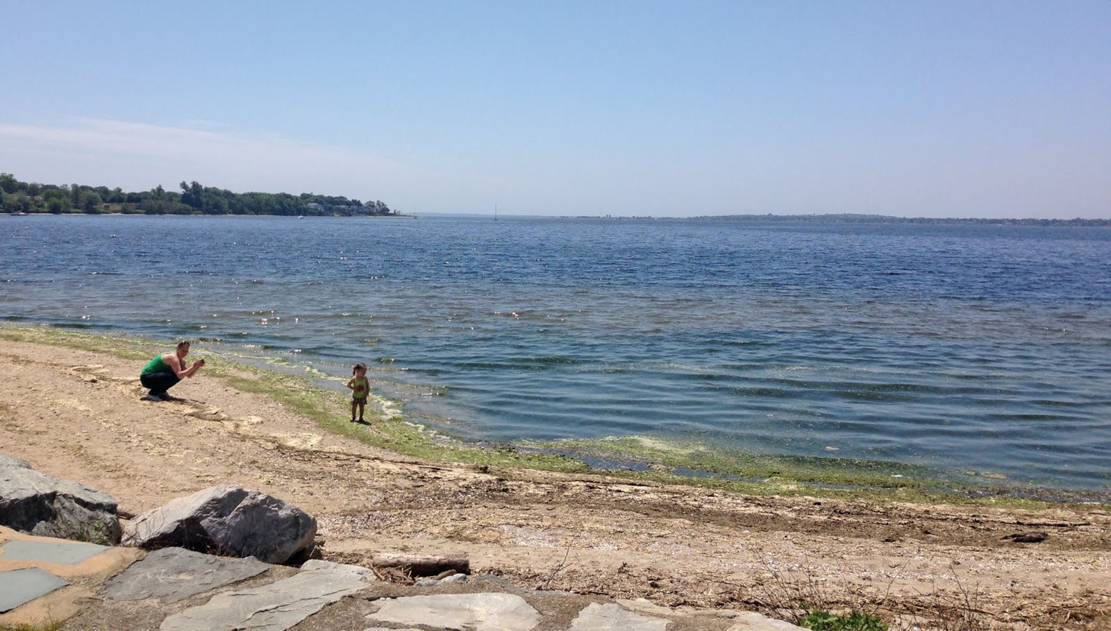
Water pollution harms Narragansett Bay, the marine life that inhabits it and the people who depend on it for their livelihood and quality of life. The Bay and the rivers of its watershed have suffered from 200+ years of toxic pollution—chemicals and metals that have been dumped into the Bay since the Industrial Revolution began on the Blackstone River. Today, the major sources of pollution are wastewater treatment plants, cesspools and septic systems, and stormwater runoff, all of which discharge high levels of nitrogen, bacteria, and phosphorus and everyday products such as pharmaceuticals, metals, chemicals, and petroleum products into the Bay and other local waters.

The pollution from these sources poses risks to public health and leads to the closing of swimming beaches and shellfish beds. Clams, mussels, scallops and oysters from Narragansett Bay are harvested commercially and recreationally, but shellfish beds are often closed after heavy rains because bacteria in sewage from wastewater system overflows and polluted runoff make them unsafe to eat. Eelgrass, widely recognized as a key indicator of bay health and an important source of food and habitat for marine life, has dwindled to just 10 percent of its one-thriving status in the Bay.

Reducing the Amount of Nutrients Entering the Water

Wastewater treatment systems and stormwater runoff overload Narragansett Bay and coastal waters with nutrients, most notably nitrogen and phosphorus. While nutrients are essential for marine life, excessive amounts of nitrogen and phosphorus can be “too much of a good thing,” clouding the water and lowering oxygen levels, causing fish kills and the loss of habitats such as eelgrass.

Save The Bay strives to reduce nitrogen by fighting for construction and upgrades to wastewater treatment plants and septic systems, elimination of cesspools, and investments in stormwater control projects. Nutrient pollution, especially in urban waters, has been greatly reduce, but we have a long way to go.

Learn more about how nutrients harm the Bay

Algae Bloom
Algae blooms, caused by excessive nutrients in the water, can be seen along the shores at Sabin Point.

Reducing Polluted Runoff & Improving Stormwater Management

When it rains, water from parking lots, driveways, streets, highways, lawns and farms flows into the Bay, carrying with it animal waste, oil, grease, gasoline, fertilizer, garbage and salt and sand. Stormwater also carries sewage pollution from cesspools and combined sewer systems, and overloads the Bay with nutrients. When not properly managed, stormwater can cause major flooding events that disrupt people’s lives and businesses.

Reducing stormwater pollution is complicated. The greatest challenges are raising awareness of homeowners, business owners, and municipal and state governments who all have roles to play. Cities and towns own stormwater collection systems with storm drains and pipes that require maintenance, repair, and upgrades. Commercial areas, such as malls and big box stores, can re-engineer and landscape their parking lots to capture stormwater and allow it to do what it does naturally: seep into the ground. Rain gardens can be developed by schools, stores, and homeowners to accomplish the same goal.

Read About Some of Our Latest Initiatives to Improve Water Quality

Beach closure sign

Summer 2023’s record-breaking beach closure numbers

Wednesday, August 9, 2023

This summer, there were 205 closure days through July, or almost twice as many as in recent years. 2023 closures have already exceeded 2022, and there is still a month of beach season remaining.

This summer, there were 205 closure days through July, or almost twice as many as in recent years. 2023 closures have already exceeded 2022, and there is still a month... ...Read More

Save The Bay’s 2023 Legislative Wrap-up

Thursday, July 6, 2023

Save The Bay’s 2023 Legislative Wrap-up by Topher Hamblett, interim executive director and director of advocacy The 2023 R.I. General Assembly session is in the books, and it was a great one for the Narragansett Bay watershed and the public’s right to access along the shore. While efforts to reform the structure of the Coastal … Read More

Save The Bay’s 2023 Legislative Wrap-up by Topher Hamblett, interim executive director and director of advocacy The 2023 R.I. General Assembly session is in the books, and it was a... ...Read More

Rhode-Island-State-house

Save The Bay at the State House: A 2023 Legislative Update

Thursday, April 6, 2023

Save The Bay at the State House: A 2023 Legislative Session Update by Topher Hamblett, director of advocacy The Rhode Island General Assembly is in full swing, and considering important legislation that will impact Narragansett Bay. Save The Bay has been hard at work meeting with legislators, testifying at Committee hearings, joining and building coalitions … Read More

Save The Bay at the State House: A 2023 Legislative Session Update by Topher Hamblett, director of advocacy The Rhode Island General Assembly is in full swing, and considering important... ...Read More

Waterkeepers

Save The Bay’s three Waterkeepers engage in the collection and interpretation of data to inform the public and affect policy; urge our public officials to make protection of our most valuable resource a top priority, and hold them accountable for actions that affect Bay quality. As members of the Waterkeeper Alliance, which has more than 300 programs worldwide, Save The Bay’s Waterkeepers are part of a network of specialists with a passion for defending the environment and a devotion to working in their communities.

Baykeeper

Mike Jarbeau

As Save The Bay’s “eyes and ears” on Narragansett Bay, the Baykeeper identifies and responds to environmental threats by keeping in close contact with members of the Bay community and with environmental agencies. Save The Bay created the Baykeeper program in 1993 to strengthen our direct action, legal and regulatory watchdogging and pollution response capacity.
See pollution, or another issue, in the Bay? Report it to the Baykeeper:

EMAIL   FOLLOW


Coastkeeper

Catie Alves Headshot

Dr. Catie Alves

Our South County Coastkeeper works in the community—both on and off the water—to protect, restore, and promote stewardship of the unique and magnificent waterways of Little Narragansett Bay, the Pawcatuck River, and the South Coast. The Coastkeeper program was launched in 2007 from Save The Bay’s South Coast Center in Westerly, R.I., creating a Save The Bay presence in Southern Rhode Island.
See pollution, or another issue, along the coast? Report it to the Coastkeeper:

EMAIL  FOLLOW

Riverkeeper

Kate McPherson

Our Riverkeeper works to protect, restore, and promote stewardship of the vast network of remarkable rivers within the Narragansett Bay watershed, 60% of which is in Massachusetts. The Riverkeeper program was developed in 2016 to monitor Narragansett Bay’s tributary watershed, including the Blackstone, Ten Mile, Runnins, Palmer, Kickemuit, Cole, Lee and Taunton Rivers.
See pollution, or another issue, in our region’s rivers? Report it to the Riverkeeper:

EMAIL  FOLLOW

Action Apps

Report pollution when you see it

Water ReporterThe Water Reporter App is the perfect way to let Save The Bay know when there’s a problem in our local waters. You can be our eyes and noses across the watershed. So if you see or smell anything that might be pollution, snap a photo, write a caption and send it to us on Water Reporter.

Available on the App StoreGet it on Google Play

Hold your own shoreline cleanup

Clean Swell AppThe Clean Swell App lets volunteers upload important cleanup data in real-time to the world’s largest marine debris database. This database is used by scientists, conservation groups, governments and industry leaders to study ocean trash and take action to ensure trash never reaches our beaches.

Available on the App StoreGet it on Google Play

Report flooding and storm surges

My Coast Logo

The MyCoast App lets you upload pictures that capture the highest tides, show storm damage and erosion and record localized flooding. By recording these events, you’ll help decision-makers, emergency managers and others make better decisions about how to protect our coastal communities and assets.

Available on the App StoreGet it on Google Play