Vital Narragansett Bay Statistics
- Length: 25 miles (40 kilometers).
- Width: 10 miles (16 kilometers).
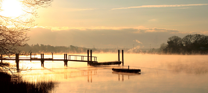 Smoke on the water
- Surface Area: 147 square miles.
- Volume: 706 billion gallons (2.7 billion cubic meters) at mid-tide.
- Average Depth: 26 feet (7.8 meters).
- Deepest Point: 184 feet (56 meters) in East Passage off Castle Hill.
- Shoreline: 256 miles (412 kilometers) including island shorelines.
- Watershed Area: 1,853 square miles (4,081 square kilometers); 60% in Massachusetts, 40% in Rhode Island.
- Average Salinity: The average surface salinity ranges from 24 (upper bay) to 32 (towards Ocean) parts part thousand (ppt).
- Daily Freshwater Input, Rivers: 2.1 billion gallons.
- Daily Freshwater Input, All Sources: 2.4 billion gallons.
- Largest Rivers Entering Narragansett Bay: Pawtuxet, Blackstone, Taunton.
- Average Temperature (mid-Bay): 32F in the winter, 69F in the summer.
- Average Flushing Time: 26 days.
- Tidal Range: 3 to 4 feet every 12 hours; tide takes about 20 minutes to move up the Bay from Newport to Providence.
- Prevailing Winds: From the southwest in summer; from the northwest in winter.
- Population: Approximately 1.8 million people live in the watershed: 887,863 in Rhode Island; 949,465 in Massachusetts.
- Tourism: More than 12 million people visit Narragansett Bay each year.